
Experimental Test Site
Satellite imagery: Esri, Maxar, Earthstar Geographics
In the desert east of Socorro, New Mexico, on the White Sands Missile Range, the Experimental Test Site has quietly shaped how astronomers track objects in deep space.
About Experimental Test Site
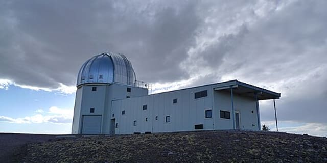
The site is an electro-optical test facility operated by MIT Lincoln Laboratory for the U.S. Air Force. It hosts the Ground-Based Electro-Optical Deep Space Surveillance (GEODSS) system, equipped with charge-coupled device (CCD) detectors developed by Lincoln Laboratory, used to measure and track near-Earth objects, satellites and space debris.
History
The site was established in 1975 to demonstrate electro-optical sensors for deep-space surveillance, after Lincoln Laboratory researchers showed that low-light-level TV cameras mounted on telescopes could detect geosynchronous satellites. It was later adapted for the Lincoln Near-Earth Asteroid Research (LINEAR) program, which went on to discover more minor planets than any other survey in history.
Telescopes & research
Its CCD-equipped telescopes support both military deep-space surveillance and the LINEAR program's search for near-Earth asteroids, combining defense and astronomical research on the same instruments.
Location & getting there
The Experimental Test Site is in North America, in the United States, in the New Mexico desert east of Socorro.
Visiting Experimental Test Site
As a U.S. Air Force facility operated by MIT Lincoln Laboratory on a missile range, the site is not open to the public.
See your named star from here
The same kind of precise sky coordinates that let LINEAR track faint asteroids are what point the way to your own named star. Name a star or browse the star catalogue to find where it sits.
Opening hours and public-visit programs vary by season. Check Google Maps for current times before you travel.
Institutional and reference sources used to verify this guide.
Satellite imagery: Esri, Maxar, Earthstar Geographics

 52 km
52 km
 127 km
 139 kmSolar
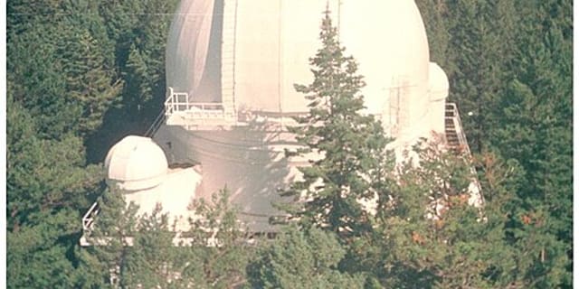
Sunspot Solar Observatory
astronomical observatory in Sunspot, New Mexico, United States

 139 km
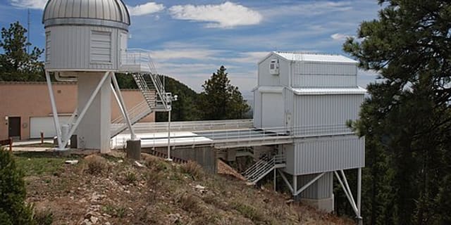
Apache Point Observatory
astronomical observatory in Sunspot, New Mexico, United States