
Point Pelee National Park

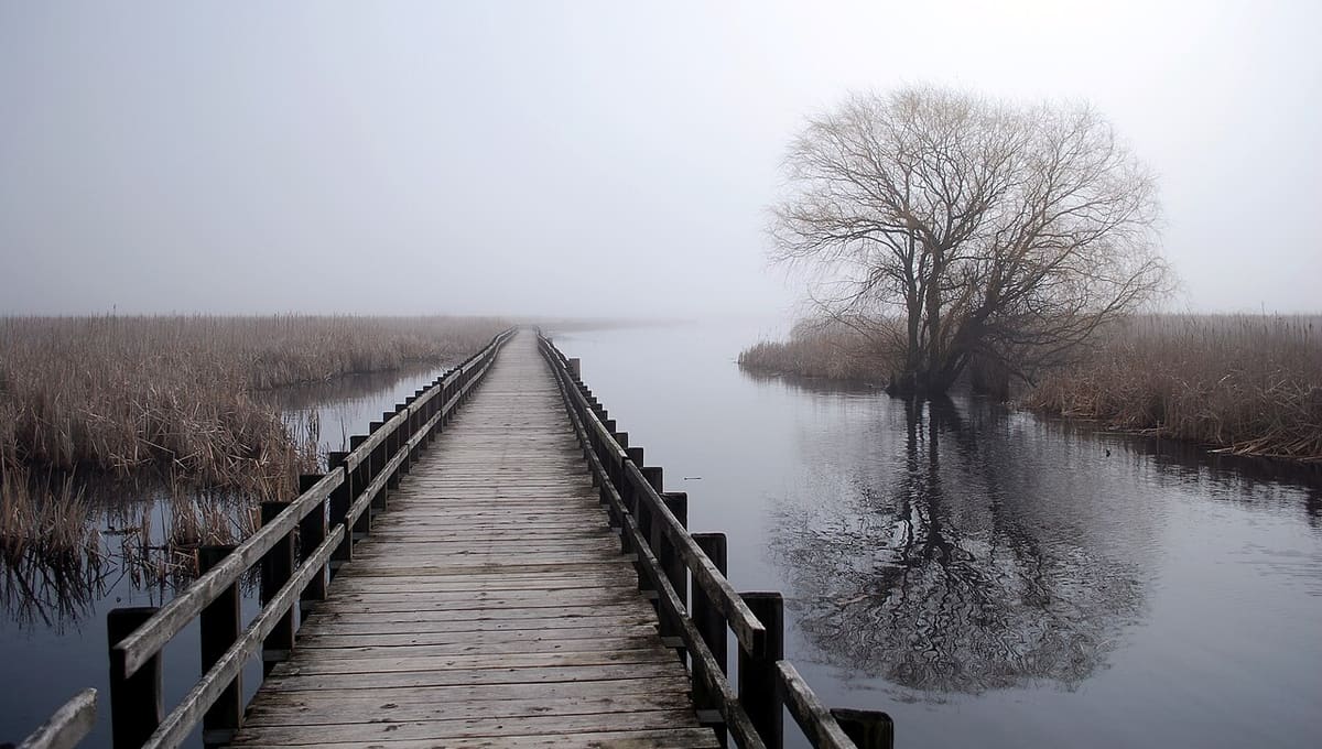
Image: Quozl · Public domain · Wikimedia Commons
Point Pelee National Park occupies a narrow peninsula in Essex County, southwestern Ontario, jutting into Lake Erie as the southernmost point of mainland Canada. It was designated a Dark Sky Preserve in 2006 by the Windsor Centre of the Royal Astronomical Society of Canada, a designation that helped pave the way for a broader Parks Canada and RASC dark-sky collaboration across the country.
Why Point Pelee National Park is a top stargazing spot
Point Pelee is Canada's second-smallest national park at just 15 square kilometres, but its unique southward reach into Lake Erie gives visitors a view of the southern sky that's hard to get anywhere else in the country. Sky brightness measurements in the core preserve area come in at 21.2 to 21.5 magnitudes per square arcsecond, respectably dark for a park within reach of a major population corridor. The Dark Sky Preserve designation also protects local wildlife, plants, animals, and insects that depend on darkness for foraging, breeding, and navigation, an ongoing effort given that light pollution from greenhouses to the park's north remains a real threat to sky quality here.
What you can see
Because the peninsula extends further south than the rest of mainland Canada, stargazers here can pick out parts of the sky that stay below the horizon further north, alongside the usual northern stars and the Milky Way on clear, moonless nights. The aurora borealis does occasionally reach this far south, though only under favourable solar activity, since Point Pelee's latitude is unusually southerly for a Canadian park.
Visiting Point Pelee National Park at night
The park stays open until midnight on designated dark sky nights, with monthly dark sky events held regularly rather than as a once-a-year occasion. West Beach and the Visitor Centre parking lots are the recommended viewing spots, and seasonal star charts are available at the front gate to help you find your way around the sky. Before heading out, it's worth checking the park's Clear Sky Chart at cleardarksky.com for a forecast of cloud cover and sky transparency.
Best time to go
Aim for a new Moon night whenever possible, since even moderate moonlight will wash out the fainter stars this far south. Monthly dark sky events give you a scheduled reason to visit and a chance to see the sky with rangers or RASC volunteers on hand, while clear, dry autumn and winter nights tend to offer the steadiest transparency. Give your eyes 20 to 30 minutes to dark-adapt once you arrive, and use a red light if you need to check a star chart.
Getting there
The park sits at the tip of a peninsula in Essex County in southwestern Ontario, reached by road from the surrounding region and bordered on three sides by Lake Erie. Check the Parks Canada website for current hours, entry fees, and directions before you travel, since dark sky night access can differ from regular daytime hours.
See your named star from here
Point Pelee's rare view south makes it a fun place to try to find a star you've named through Star Register, especially with a stargazing app loaded with its coordinates. Browse the star catalogue, or read our guide on how to find a star in the night sky before you go. See more certified sites on our stargazing page or observatories page.
Conditions and access vary by season. Check the official website and Google Maps before you travel, and aim for a clear night near the new Moon for the darkest sky.
Satellite imagery: Esri, Maxar, Earthstar Geographics

 144 kmPreserve
Lake Hudson State Recreation Area
state park in Lenawee County, Michigan, United States

 328 kmPreserve
 371 kmPreserve