
Seismic station Kašperské Hory
Satellite imagery: Esri, Maxar, Earthstar Geographics
Seismic station Kašperské Hory is a geophysical monitoring facility built inside a former gold mine adit in Kašperské Hory, Czech Republic.
About Seismic Station Kašperské Hory
Known by the station code KHC, the facility places its seismographs deep in the 350-metre-long Kristýna adit, a passage originally dug for gold mining in 1802, whose old workings now provide unusually stable, low-noise conditions for detecting earthquakes.
History
A construction permit for the station was issued on 1 January 1960, and it was operational by May of that year, built to explore seismic instability in Bohemia. The site was chosen for its low seismic noise, solid substructure, and the absence of large nearby buildings that could interfere with readings. Though originally intended as a temporary station, it has continued operating ever since.
Telescopes & research
The station forms part of the Czech Regional Seismic Network and connects into international seismic monitoring networks, and it is regarded as one of the most sensitive seismic stations in the world thanks to its unusual underground setting.
Location & getting there
The station lies in Kašperské Hory, a historic mining town in the Czech Republic, part of the Europe region, set among the wooded hills of the Bohemian Forest.
Visiting Seismic station Kašperské Hory
The town's Seismometry Museum tells the story of the station and its mining-era tunnels; check the Kašperské Hory local tourism pages for current museum hours before visiting.
See your named star from here
The Bohemian Forest around Kašperské Hory offers some of the darker skies in central Europe, a fitting backdrop for tracking down a named star once you have its coordinates. Browse the star catalogue to find yours.
Opening hours and public-visit programs vary by season. Check Google Maps for current times before you travel.
Institutional and reference sources used to verify this guide.
Satellite imagery: Esri, Maxar, Earthstar Geographics

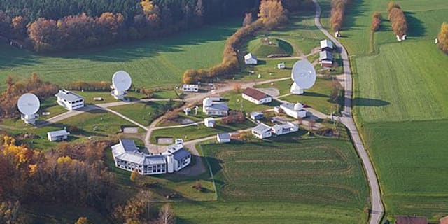 51 km
51 km
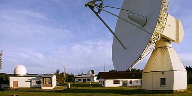 51 kmRadio
Observatorium Michaeligasse 13 in Passau
cultural heritage monument D-2-62-000-393 (1) in Passau, Bavaria

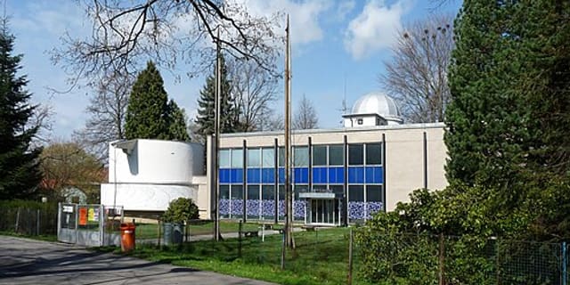 67 kmPlanetarium