
Geodetic Observatory Wettzell

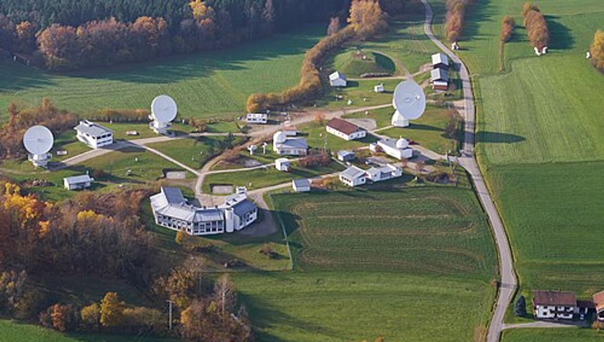
Image: Wikimedia Commons
Geodetic Observatory Wettzell sits atop the 616-metre Wagnerberg, west of the village of Wettzell in the Bavarian Forest district of Cham, Germany. It is one of the world's most important sites for precisely measuring the shape and rotation of the Earth.
About Geodetic Observatory Wettzell
The observatory is operated by the Federal Agency for Cartography and Geodesy (BKG) together with the Technical University of Munich. Rather than studying distant stars, it uses geodetic space techniques, very long baseline interferometry (VLBI), satellite laser ranging (SLR), GNSS, and DORIS, to track the Earth's position, orientation and deformation with extreme precision.
History
The observatory was established in 1972 and has since grown into a unique combination of instruments: it hosts three large radio telescopes and two laser ranging facilities at the same site, a rare co-location that makes Wettzell an international reference point for geodesy.
Telescopes & research
Wettzell's radio telescopes conduct VLBI observations that measure the Earth's rotation and continental drift to millimetre accuracy, while its laser ranging facilities track satellites in orbit. The site is also home to a large ring laser known as the "G", used to measure minute variations in the Earth's rotation rate.
Location & getting there
The observatory occupies a hilltop site in the Bavarian Forest, in southeastern Germany, chosen for its stability and clear sightlines. It sits in a rural, forested part of Bavaria near the village of Wettzell.
Visiting Geodetic Observatory Wettzell
As a working scientific research station, Wettzell is not a typical public observatory. Anyone interested in visiting should check the official BKG website or contact the observatory directly (+49 9941603 109) for current tour or open-day information before travelling.
See your named star from here
Wettzell's instruments look mostly outward to satellites and inward to the Earth itself, but the same clear Bavarian skies above it stretch out to the stars. Once you have the coordinates of a named star, any observatory with a suitable telescope can help you find it. Name a star, or browse the star catalogue.
Opening hours and public-visit programs vary by season. Check Google Maps for current times before you travel.
Institutional and reference sources used to verify this guide.
Satellite imagery: Esri, Maxar, Earthstar Geographics

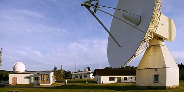 under 1 kmRadio
Observatorium Michaeligasse 13 in Passau
cultural heritage monument D-2-62-000-393 (1) in Passau, Bavaria

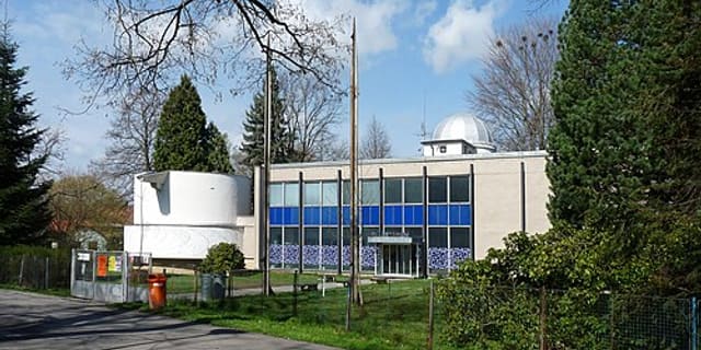 117 kmPlanetarium
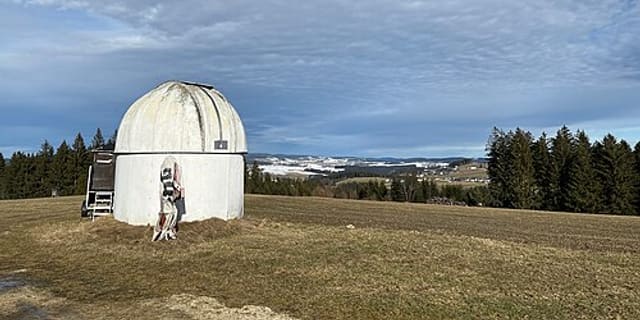 129 km