
Observatoire du Morne des Cadets
Satellite imagery: Esri, Maxar, Earthstar Geographics
On Martinique, the French Caribbean island still shaped by the 1902 eruption of Mount Pelée, the Observatoire du Morne des Cadets keeps watch over the volcano that gives the region its name. Founded in 1903, it is run today as the Observatoire Volcanologique et Sismologique de la Martinique (OVSM-IPGP).
About Observatoire du Morne des Cadets
The observatory was founded at the instigation of French geologist Alfred Lacroix in the aftermath of the catastrophic 1902 eruption of Mount Pelée. It relocated to Morne Moustin in 1935, and responsibility for its monitoring work passed to the Institut de Physique du Globe de Paris (IPGP) in 1946. A new earthquake- and cyclone-resistant facility opened in Saint-Pierre in 2019.
History
From its founding in 1903 through several relocations, the observatory's mission has stayed constant: tracking the volcanic activity that devastated Saint-Pierre in 1902. Its move to a purpose-built, disaster-resistant building in 2019 reflects more than a century of continuous monitoring on the island.
Telescopes & research
Rather than astronomical telescopes, the site operates seismic and geodetic monitoring stations that track Montagne Pelée's activity and wider seismicity across the Lesser Antilles arc. Its data feeds into the regional tsunami early-warning system for the Caribbean.
Location & getting there
The observatory sits at around 250 metres elevation on Martinique, an overseas French department in the Caribbean.
Visiting Observatoire du Morne des Cadets
As a working volcano-monitoring facility, it is not set up as a public stargazing site; anyone interested in its research should check the official website before planning a visit.
See your named star from here
This observatory's instruments are trained on the ground rather than the sky, so it isn't a place to view a named star. If you've named a star through Star Register, browse our observatories directory for a stargazing site near you, or look up its exact position in the catalogue.
Opening hours and public-visit programs vary by season. Check the official website and Google Maps for current times before you travel.
Institutional and reference sources used to verify this guide.
Satellite imagery: Esri, Maxar, Earthstar Geographics

 719 km
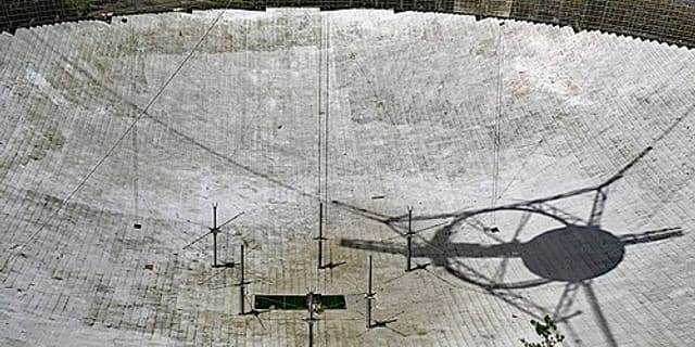
Arecibo Observatory
observatory located in the municipality of Arecibo, Puerto Rico

 2,350 kmPlanetarium