
Nançay Radio Observatory

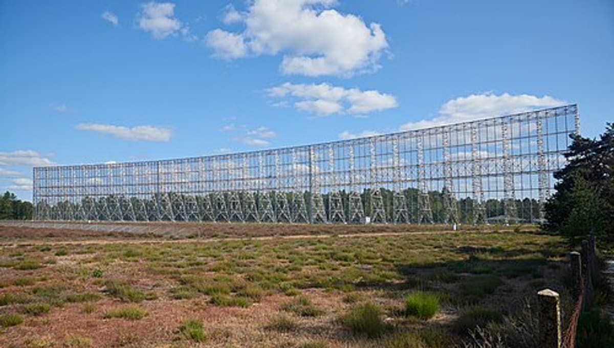
Image: Wikimedia Commons
The Nançay Radio Observatory, opened in 1956 in the Sologne region of the Cher department, is one of France's principal radio astronomy sites and a working part of the Paris Observatory.
About Nançay Radio Observatory
Officially the Station de Radioastronomie de Nançay, the observatory is operated as part of the Paris Observatory and is also associated with the University of Orléans. It brings together several major instruments on one site rather than a single telescope.
History
The observatory opened in 1956. Its best-known instrument, the large decimetric radio telescope, was built between 1960 and 1965 and inaugurated by President Charles de Gaulle in 1965. The decametric array followed later, constructed between 1974 and 1977.
Telescopes & research
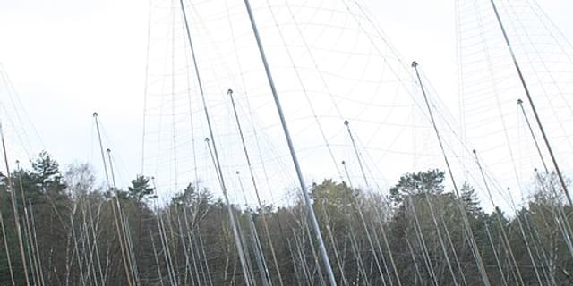
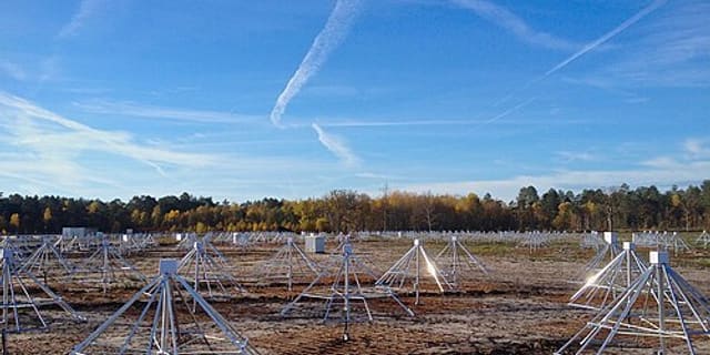
The site hosts several major instruments: the decimetric radio telescope, one of the largest radio telescopes in the world; the radio heliograph, a T-shaped array for solar observation; and the decametric array, which studies wavelengths between 3 and 30 metres. The observatory also takes part in current international projects including LOFAR, NenuFAR, EMBRACE, ORFEES and CODALEMA.
Location & getting there
Nançay Radio Observatory lies in the quiet, low-interference countryside of the Sologne, part of the Cher department in central France - a setting chosen deliberately to protect sensitive radio observations from man-made interference.
Visiting Nançay Radio Observatory
The observatory has a public-facing side alongside its research work; check the official website for current opening hours and any guided visits before you travel, since access to research instruments can vary.
See your named star from here
Radio telescopes here study the sky in wavelengths invisible to the eye, but the same coordinates used to name a star can be pointed to by an optical telescope elsewhere. Name a star today or explore the star catalogue to find one to view.
Opening hours and public-visit programs vary by season. Check the official website and Google Maps for current times before you travel.
Institutional and reference sources used to verify this guide.
Satellite imagery: Esri, Maxar, Earthstar Geographics

 under 1 kmRadio
 under 1 kmRadio
 147 km