
Mount Lemmon Observatory

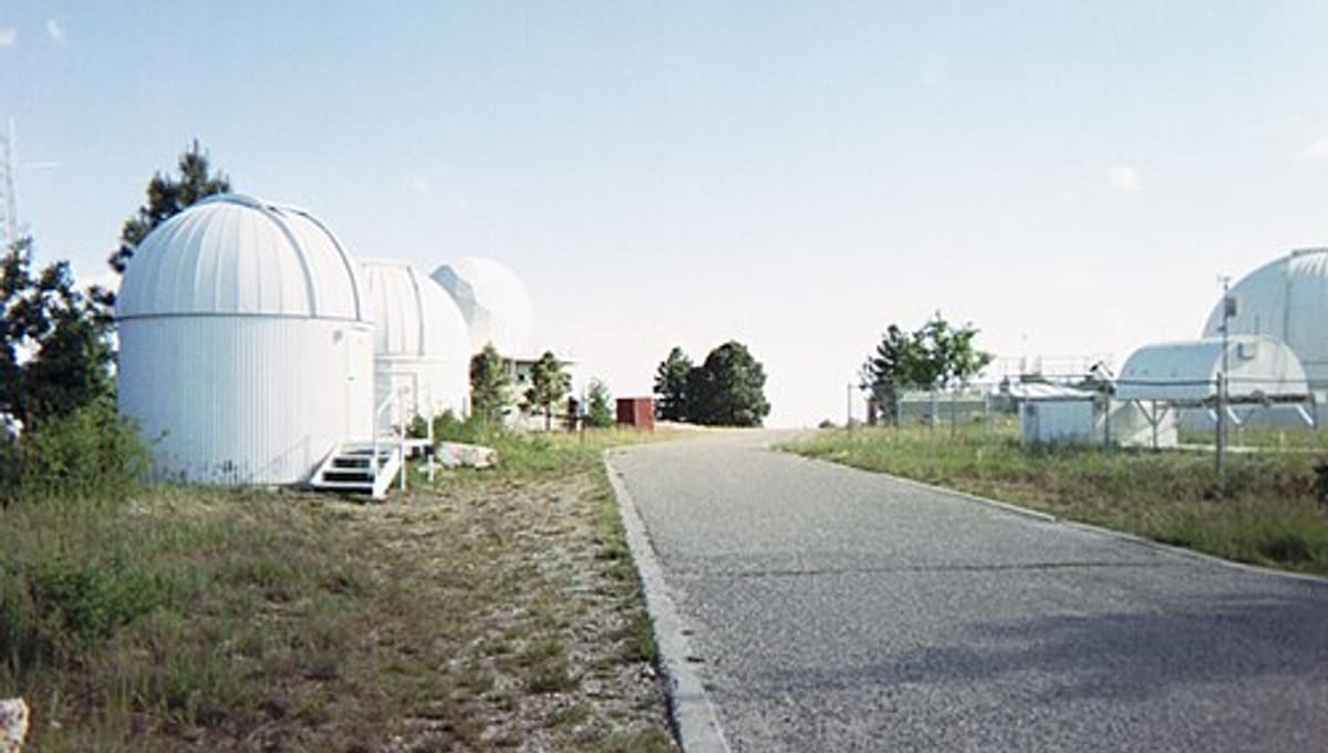
Image: Wikimedia Commons
Mount Lemmon Observatory rises above Tucson, Arizona, in the Santa Catalina Mountains, a site that started life as a Cold War-era radar station before becoming a hub for infrared astronomy.
About Mount Lemmon Observatory
Also known as the Mount Lemmon Infrared Observatory, MLO sits at 2,791 metres about 28 kilometres northeast of Tucson, within the Coronado National Forest, used with special permission from the U.S. Forest Service. It is managed by the University of Arizona's Steward Observatory and hosts several independently operated telescopes.
History
The site was originally built in 1954 as the Mount Lemmon Air Force Station, a radar installation, before being transferred to Steward Observatory in 1970 and converted into an infrared observatory. It played a role in the early development of infrared astronomy, contributed to the Apollo moon survey, and has supported searches for near-Earth asteroids, standing at the time as the highest-altitude continental site dedicated to infrared astronomy.
Telescopes & research
Today the mountain hosts eight additional telescopes run by various institutional partners for both optical and infrared research, alongside the original observatory facilities.
Location & getting there
Mount Lemmon Observatory sits at 2,791 metres in the Santa Catalina Mountains, about 28 kilometres northeast of Tucson, Arizona, in the North America region of the United States.
Visiting Mount Lemmon Observatory
The Mount Lemmon SkyCenter offers public tours and educational programs at the site. Check the SkyCenter's website for current tour times and booking details before you go.
See your named star from here
Mount Lemmon's telescopes, whether hunting infrared light or scanning for asteroids, all work from precise sky coordinates, exactly the kind attached to a Star Register named star. Name a star and find its position in the catalogue before booking a SkyCenter tour.
Opening hours and public-visit programs vary by season. Check the official website and Google Maps for current times before you travel.
Institutional and reference sources used to verify this guide.
Satellite imagery: Esri, Maxar, Earthstar Geographics

 under 1 km
OWL-Net observatory, Mt. Lemmon
astronomical observatory in Arizona, United States

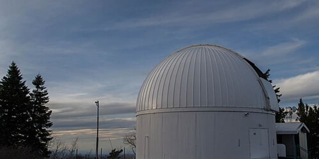 under 1 km
Catalina 40" Telescope
telescope facility in the Catalina Sky Survey, located on Mount Lemmon in Arizona, U.S.

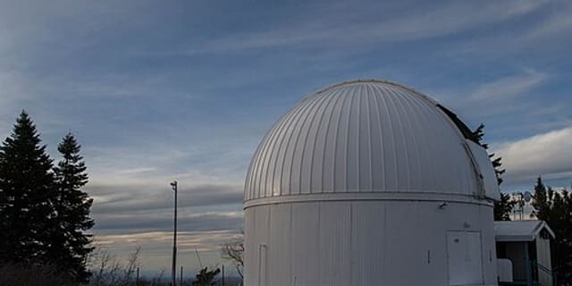 under 1 km
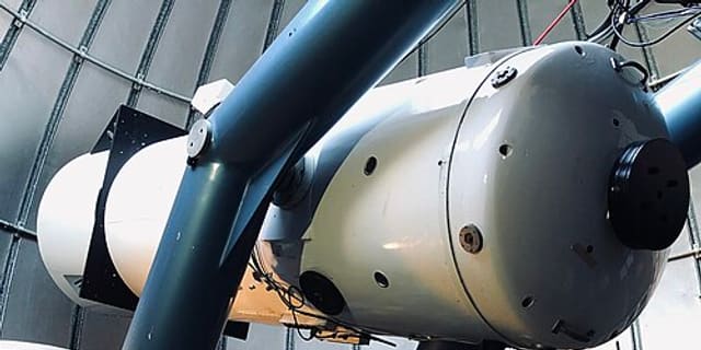 6 km
6 kmCatalina Station
astronomical observatory on Mount Bigelow in Arizona, U.S.