
Graz-Lustbühel satellite station

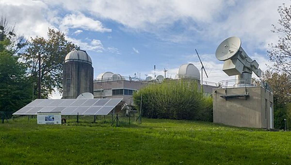
Image: Wikimedia Commons
The Graz-Lustbühel satellite station is Austria's fundamental facility for satellite and cosmic geodesy, based in the Waltendorf district near Graz, Styria.
About Graz-Lustbühel satellite station
Opened in December 1976, the station is run jointly by the University of Graz, the Technical University of Graz, and the Austrian Academy of Sciences. It has operated continuously as a Satellite Laser Ranging (SLR) station since 1982, sending laser pulses to orbiting satellites to measure distances with extraordinary precision.
History
The station opened with a Zeiss BMK-75 satellite camera, later converted from photographic plates to CCD detection. It went on to become the first measurement unit in the world to exceed one-centimetre accuracy in satellite laser ranging, a milestone that cemented its reputation in the field of geodesy.
Telescopes & research
Alongside its laser ranging system, the station operates GPS and GLONASS receivers to measure satellite distances and contributes ongoing data to global monitoring of Earth's rotation and polar motion.
Location & getting there
The station sits in the Waltendorf district on the edge of Graz, in the Austrian state of Styria, within the Europe region Star Register tracks alongside other observatories.
Visiting Graz-Lustbühel satellite station
As an active scientific measurement station rather than a public observatory, Graz-Lustbühel is not generally open for casual visits; those interested should contact the University of Graz institute that operates it directly before planning a visit.
See your named star from here
The precision this station applies to tracking satellites is a good match for the exact coordinates that come with every star named through Star Register. Explore our packages or browse the catalogue for a star to name.
Opening hours and public-visit programs vary by season. Check Google Maps for current times before you travel.
Institutional and reference sources used to verify this guide.
Satellite imagery: Esri, Maxar, Earthstar Geographics

 100 kmResearch
 129 kmSolar
 133 km