
Athabasca University Geophysical Observatory
Satellite imagery: Esri, Maxar, Earthstar Geographics
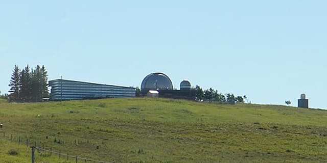
The Athabasca University Geophysical Observatory, known as AUGO, is a dedicated aurora and space-weather research facility just outside Athabasca, Alberta, Canada.
About Athabasca University Geophysical Observatory
AUGO conducts optical and magnetic studies of the aurora borealis, using its northern Alberta location to track the visible and invisible signatures of solar-terrestrial activity. The observatory has hosted NASA's THEMIS ground-based network as part of its research programme, and it maintains international collaborations with partners in Canada, the United States, Japan, and Norway.
History
The observatory's main facility opened in 2002 about half a kilometre behind the Athabasca University campus. A second facility, AUGO II, has since been developed as a roughly 1.5 million Canadian dollar project some 25 kilometres southwest of the town of Athabasca, adding six climate-controlled domed observation suites to expand the observatory's research capacity.
Telescopes & research
Rather than a single large telescope, AUGO relies on optical all-sky imaging and magnetic instrumentation built for continuous aurora monitoring, feeding into shared international datasets used by solar-terrestrial physics researchers worldwide.
Location & getting there
The observatory sits in the boreal landscape of Alberta, Canada, a region well north enough to see the aurora borealis on clear, active nights, which is exactly the phenomenon its instruments were built to study.
Visiting Athabasca University Geophysical Observatory
As a research facility rather than a public tourist site, visiting arrangements are not widely advertised; anyone interested should check Athabasca University's observatory pages directly before planning a visit.
See your named star from here
Aurora researchers work with the whole northern sky, and the same coordinate system lets you find a named star from this same stretch of Alberta. Name a star today or search the catalogue to see where it sits.
Opening hours and public-visit programs vary by season. Check Google Maps for current times before you travel.
Institutional and reference sources used to verify this guide.
Satellite imagery: Esri, Maxar, Earthstar Geographics

 433 km
 896 km
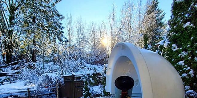
Golden Ears Observatory
astronomical observatory in Maple Ridge, British Columbia, Canada

 928 km