
Metsähovi Geodetic Research Station

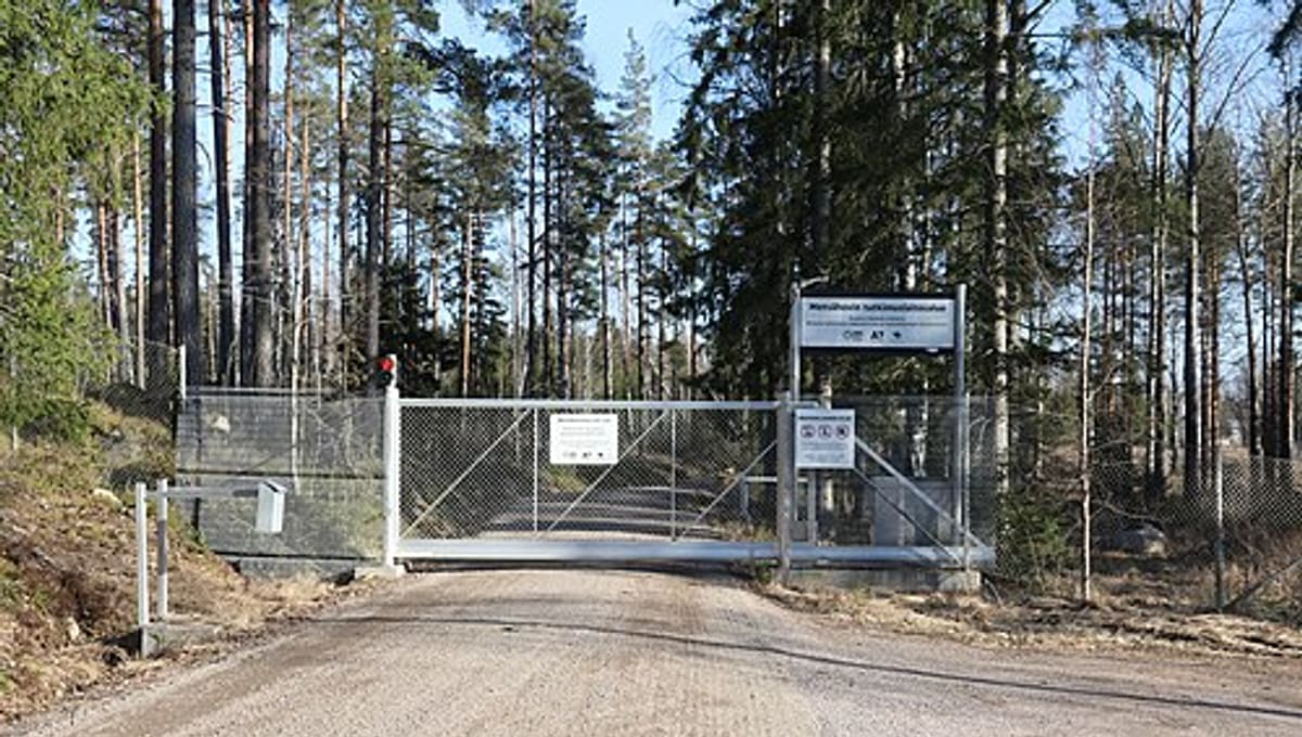
Image: Wikimedia Commons
Metsähovi Geodetic Research Station, in Kirkkonummi, Finland, has been measuring the shape, position and gravity field of the Earth since 1978, on the same site that hosts Finland's well-known radio observatory.
About the station
Run by the National Land Survey of Finland, the station studies the Earth's position and orientation in space, satellite orbits and changes in gravity. Its equipment includes a geodetic radio telescope system, satellite laser ranging instruments, satellite positioning equipment, a gravity laboratory, and a Doris satellite beacon operated in collaboration with the French space agency.
History
The station has been operating continuously since 1978, building one of the longer geodetic data records in Northern Europe.
Telescopes & research
Metsähovi forms a core facility within the Global Geodetic Observing System of the International Association of Geodesy. Finland's ongoing post-glacial land uplift gives the station a scientifically valuable, steadily shifting reference point, and its measurements anchor the country's EUREF-FIN coordinate reference system and national gravity network.
Location & getting there
The station sits in Kirkkonummi, in Finland's Uusimaa region, close to the Metsähovi Radio Observatory site.
See your named star from here
Geodesy fixes points on Earth the way astronomy fixes points in the sky -- both rely on precise coordinates. A star you name with Star Register comes with exact celestial coordinates of its own; see how that works in the star catalogue.
Opening hours and public-visit programs vary by season. Check the official website and Google Maps for current times before you travel.
Institutional and reference sources used to verify this guide.
Satellite imagery: Esri, Maxar, Earthstar Geographics

 122 km
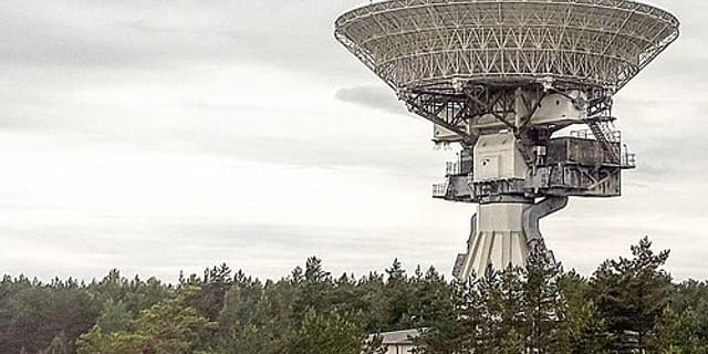 330 kmRadio
Ventspils International Radio Astronomy Center
radio astronomy institute and installation in Latvia

 333 km