
Meridian Sitings
Satellite imagery: Esri, Maxar, Earthstar Geographics
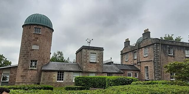
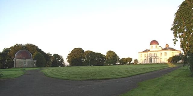
The Meridian Sitings at Tullyard, in County Armagh, Northern Ireland, are historic stone markers that once helped astronomers at nearby Armagh Observatory calibrate their instruments with precision.
About the Meridian Sitings
These markers form part of Armagh Observatory's meridian mark system, which originally included three meridian marks in the area: two to the north, in Tullyard townland, and one to the south, in Ballyheridan townland. The north mark at Tullyard was built around 1793 and is thought to have been designed by Francis Johnston, architect to Archbishop Richard Robinson, who founded Armagh Observatory.
History
The free-standing arch structure at Tullyard still stands today, featuring elliptical holes and vertical slits used for different stages of alignment, along with metal discs mounted on its pinnacles for final calibration. Its masonry was restored by the Department of the Environment in 1990, when fallen pinnacles were re-erected. The west pier of the structure aligns due north of the transit room's west window at Armagh Observatory, underlining its original purpose as a precision surveying aid.
Location & getting there
The Meridian Sitings are located at Tullyard, County Armagh, Northern Ireland, near Armagh Observatory itself.
Visiting the Meridian Sitings
As a historic outdoor structure connected to Armagh Observatory, the site can be explored as part of a wider visit to the observatory and its grounds; checking Armagh Observatory and Planetarium ahead of time is a good starting point.
See your named star from here
These stone markers once helped fix the exact position of the sky above Armagh; a star named through Star Register has its own fixed coordinates too. Look them up in the catalogue before a visit to Armagh's historic observatory grounds.
Opening hours and public-visit programs vary by season. Check Google Maps for current times before you travel.
Institutional and reference sources used to verify this guide.
Satellite imagery: Esri, Maxar, Earthstar Geographics

 2 km
2 kmSouth Meridian Marker
observatory in Ballyheridan, County Armagh, Northern Ireland

 111 km