
Charters Towers Magnetic Observatory
Satellite imagery: Esri, Maxar, Earthstar Geographics
Charters Towers Magnetic Observatory has tracked the strength and direction of Earth's magnetic field from inland Queensland since operations began in 1983, forming one node in Geoscience Australia's national geomagnetic network.
About Charters Towers Magnetic Observatory
Operated by Geoscience Australia, the station carries the observatory code CTA and sits at an elevation of about 370 metres. It has been running continuously since 1983 as part of the agency's national network of geomagnetic observatories, which feeds into the wider global observatory network.
Research & monitoring
The station maintains geomagnetic absolute observation records, contributing data that helps track how Earth's magnetic field is changing across the Australian region over time, work used by scientists, navigators and anyone relying on accurate magnetic-declination data.
Location & getting there
The observatory is located in Queensland, Australia, at coordinates roughly 20 degrees 05' S, 146 degrees 16' E, at an elevation of around 370 metres. (Use the map and directions above to plan your route.)
Visiting Charters Towers Magnetic Observatory
This is a working scientific monitoring station rather than a public attraction, so check with Geoscience Australia before planning a visit.
See your named star from here
Charters Towers keeps watch on magnetism rather than starlight, so it isn't somewhere to view your named star directly. Look up your star's coordinates in our catalogue and take them to a public observatory or a dark stretch of Queensland sky instead, or name a star if you haven't yet.
Opening hours and public-visit programs vary by season. Check Google Maps for current times before you travel.
Institutional and reference sources used to verify this guide.
Satellite imagery: Esri, Maxar, Earthstar Geographics

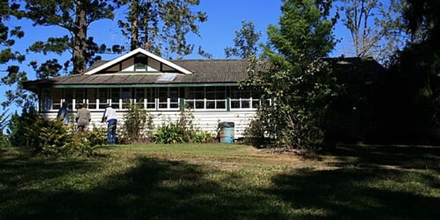 1,002 km
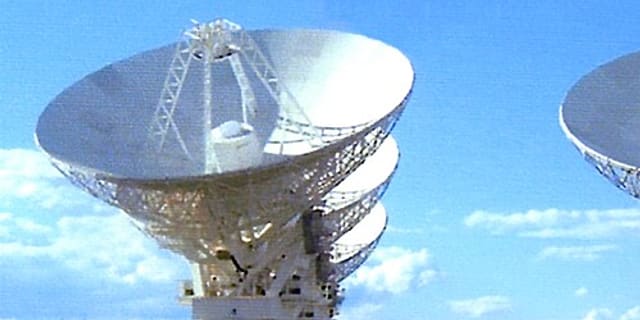 1,182 km
Australia Telescope National Facility
radio astronomy observatories of the Commonwealth Scientific and Industrial Research Organisation