
Black Birch Station
Satellite imagery: Esri, Maxar, Earthstar Geographics
Black Birch Station refers to the former astronomical site on the summit of the Black Birch Range in New Zealand's Marlborough district, an area now better known for high-country hiking than star-tracking.
About Black Birch Station
From 1984 to 1996, the United States Naval Observatory operated a star-tracking station on the summit, on the north bank of the Awatere River, with New Zealand's Carter Observatory running a complementary scientific facility alongside it.
History
The station sat above 1,000 metres in the Black Birch Range, one of only a handful of alpine environments in New Zealand above that altitude reachable by vehicle. A four-wheel-drive access road, rough and rock-strewn, still climbs to the summit, crossing private forestry land through a locked gate.
Location & getting there
The site lies within the Ferny Gair Conservation Area, where kānuka forest covers the lower slopes. The Black Birch Bivvy shelter nearby was relocated in May 2015 and remains part of the conservation area's network of huts.
Visiting Black Birch Station
Reaching the former station requires a rough 4WD track across private land with a locked gate, so anyone planning to visit should arrange access in advance through the Department of Conservation or local landowners.
See your named star from here
Long before satellites took over the job, stations like Black Birch tracked stars from this remote alpine ridge, a fitting place to imagine finding a star named through Star Register using the coordinates on its certificate. Browse the star catalogue to name one.
Opening hours and public-visit programs vary by season. Check Google Maps for current times before you travel.
Institutional and reference sources used to verify this guide.
Satellite imagery: Esri, Maxar, Earthstar Geographics

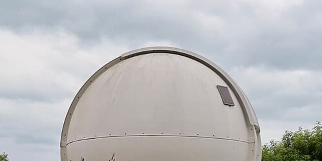 71 km
71 km
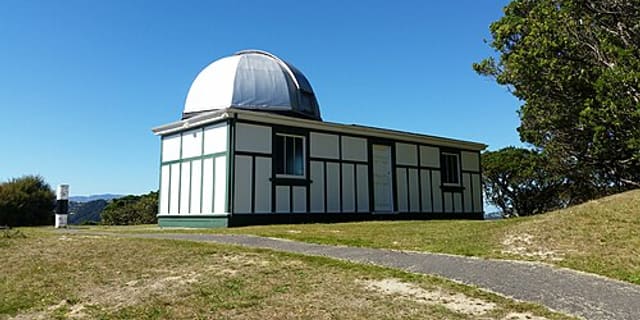 95 km
95 km
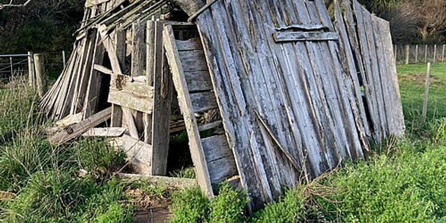 143 km
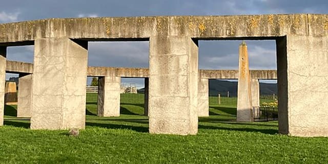 165 kmMuseum