
Basic Environmental Observatory - Musala

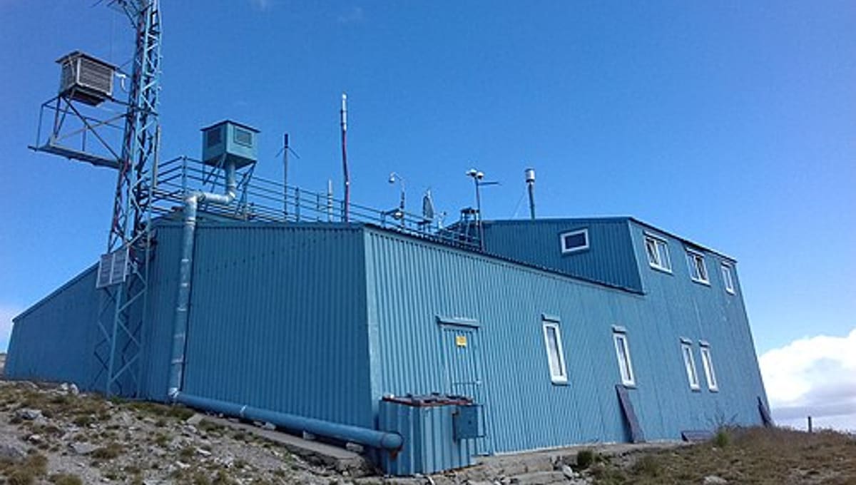
Image: Wikimedia Commons
At 2,925 metres on Musala Peak, the highest point in the Balkan Peninsula, the Basic Environmental Observatory - Musala sits above Bulgaria's Rila Mountains, studying the atmosphere rather than the stars.
About Basic Environmental Observatory - Musala
The observatory is run by the Institute for Nuclear Research and Nuclear Energy (INRNE) of the Bulgarian Academy of Sciences and is part of the European ACTRIS atmospheric research network. Its two-storey, 348 m² building houses laboratories, staff bedrooms, a kitchen and a conference room, supporting long stays at altitude.
History
The station was founded in 1999, when it was reopened and rebuilt by INRNE at the existing high-altitude site on Musala Peak.
Telescopes & research
Rather than housing telescopes, the observatory focuses on cosmic ray studies, climate monitoring, and atmospheric physics and chemistry. Its work includes tracking background radiation and evaluating both human-caused and natural (biogenic) impacts on climate, research funded by Bulgaria's Ministry of Environment and Waters.
Location & getting there
The station sits at 2,925 metres elevation on Musala Peak in the Rila Mountains of Bulgaria, the highest point on the Balkan Peninsula, reachable via the mountain routes used to summit the peak.
Visiting Basic Environmental Observatory - Musala
This is a working scientific research station at high altitude rather than a public astronomy site, so it isn't set up for stargazing visits. Hikers do summit Musala Peak, where the building is visible, but anyone wanting to see inside the station should contact INRNE directly.
See your named star from here
At nearly 3,000 metres above sea level, the summit of Musala offers some of Bulgaria's clearest, darkest skies, ideal in principle for spotting a star named through Star Register on a clear night. Name a star for someone special, or browse the star catalogue.
Opening hours and public-visit programs vary by season. Check the official website and Google Maps for current times before you travel.
Institutional and reference sources used to verify this guide.
Satellite imagery: Esri, Maxar, Earthstar Geographics

 110 km
 165 kmPlanetarium
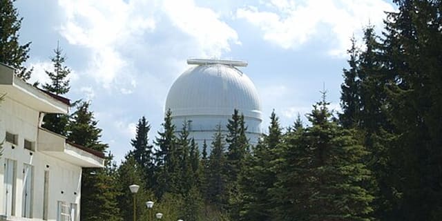
Giordano Bruno National Astronomical Observatory and Planetarium
astronomical observatory in Dimitrovgrad