
Altitude SEE Test European Platform

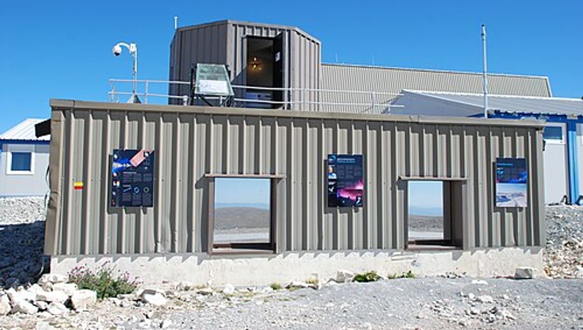
Image: Wikimedia Commons
On the remote Plateau de Bure in the French Alps, at an elevation of 2,252 metres, the Altitude SEE Test European Platform (ASTEP) is a specialised research facility that puts electronic components directly in the path of cosmic radiation.
About Altitude SEE Test European Platform
ASTEP is a permanent mountain laboratory created in 2004 by Aix-Marseille University, CNRS and STMicroelectronics, and operated today by the IM2NP Laboratory. Its focus is Single Event Effects (SEE): the disruptions that atmospheric neutrons, protons and muons from terrestrial radiation can cause in electronic components, circuits and systems. Full operations began in March 2006.
Telescopes & research
The platform hosts long-term experiments in real-time reliability testing, soft error characterisation and metrology, along with permanent instruments including the Plateau de Bure Neutron Monitor and the Plateau de Bure Muon Monitor. The neutron monitor is part of the international Neutron Monitor Database (NMDB) network, listed under station code BURE.
Location & getting there
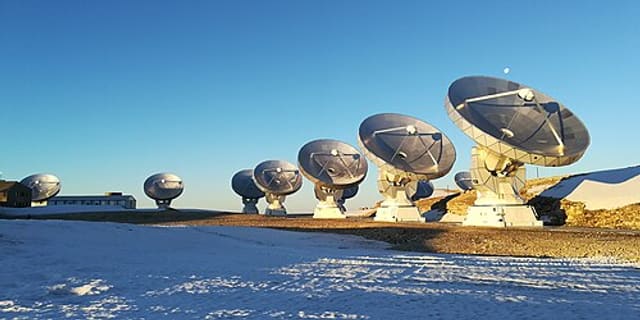
ASTEP sits high in the Dévoluy mountains of the French Alps, sharing its remote mountaintop location with the IRAM radio observatory on the Plateau de Bure, at an elevation of roughly 2,252 metres.
Visiting Altitude SEE Test European Platform
ASTEP is a specialised academic and industrial research platform rather than a public visitor site. It does not appear to offer general public tours, so anyone interested in the site should check the official ASTEP website for current access arrangements before travelling.
See your named star from here
ASTEP studies particles arriving from deep space rather than the visible stars themselves, but its high, dark mountaintop setting sits alongside a working radio observatory under some of Europe's clearest skies. If that scenery has you thinking about the night sky, you can name a star with Star Register or browse the star catalogue.
Opening hours and public-visit programs vary by season. Check the official website and Google Maps for current times before you travel.
Institutional and reference sources used to verify this guide.
Satellite imagery: Esri, Maxar, Earthstar Geographics

 40 km
40 km
 63 kmRadio
 63 kmResearch
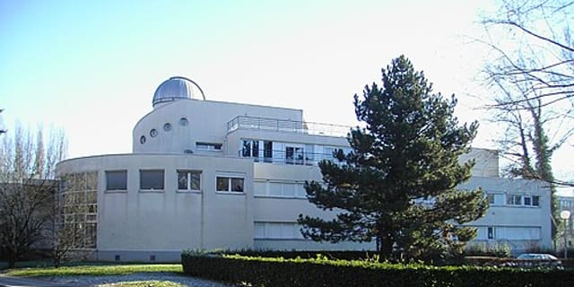
Planetology and Astrophysics Institute of Grenoble
research unit of Grenoble’s Universe Sciences Observatory