
Geospatial Information Authority of Japan

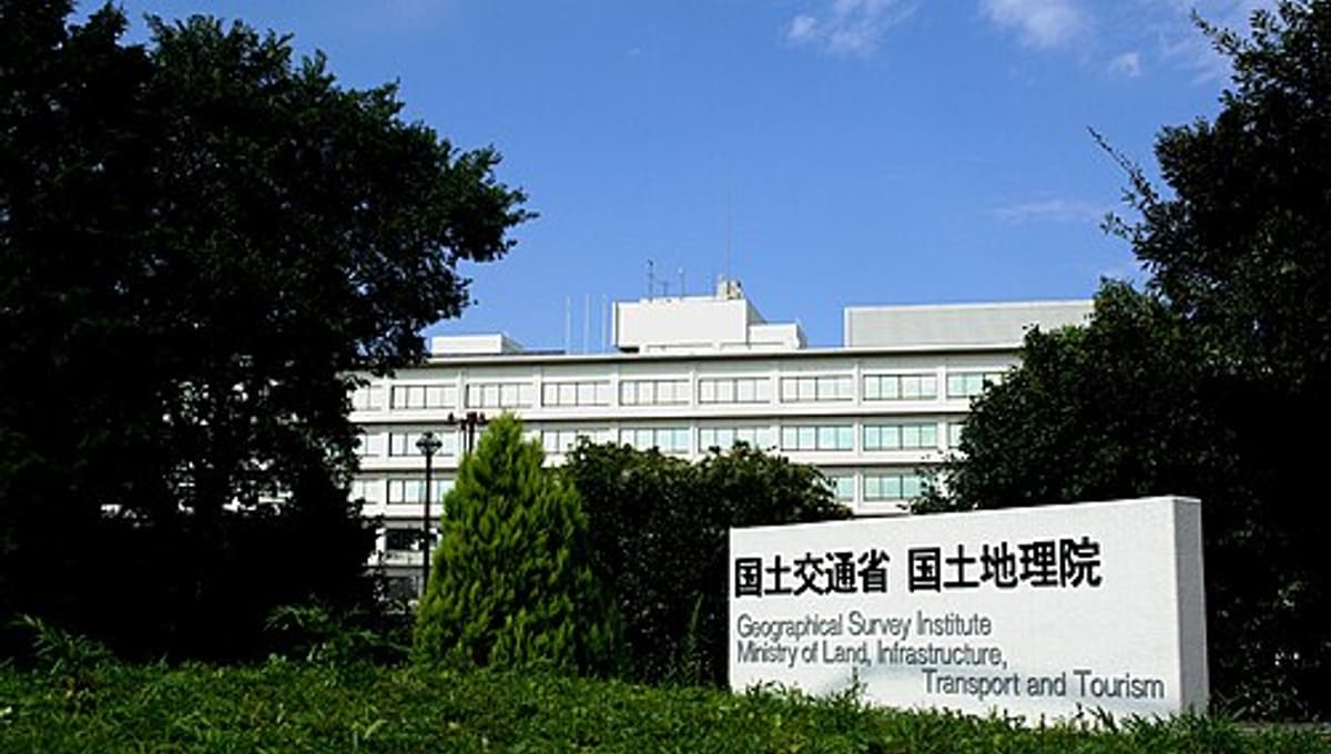
Image: Wikimedia Commons
In Tsukuba City, Ibaraki Prefecture, the Geospatial Information Authority of Japan carries on a mapping tradition that stretches back to 1869, making it one of Japan's oldest continuously operating scientific institutions.
About the Geospatial Information Authority of Japan
Known in Japanese as Kokudo Chiri-in and abbreviated GSI, it is the national institution responsible for surveying and mapping the whole of Japan. It functions as an extraordinary organ of the Ministry of Land, Infrastructure, Transport and Tourism, with its main offices based in Tsukuba.
History
The institution was founded in 1869 as the cadastral Registration Map Section under the Ministry of Civil Service. It was reorganised in 1888 as the Japanese Imperial Land Survey, became the Geographical Survey Institute in 1945, and took its current name, the Geospatial Information Authority of Japan, in April 2010, retaining the same GSI initials despite the change.
Location & getting there
GSI's main offices are located in Tsukuba City, Ibaraki Prefecture, Japan, part of the wider Tsukuba Science City that hosts many of the country's leading research institutions.
Visiting the Geospatial Information Authority of Japan
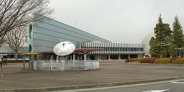
GSI operates the Science Museum of Map and Survey in Tsukuba, open to the public and dedicated to the history and techniques of surveying and mapmaking. Check the official GSI website, gsi.go.jp, for current museum hours before visiting.
See your named star from here
An institution built around precisely mapping every point on Earth is, in its own way, a fitting neighbour to the idea of mapping a point in the sky. Once you have a named star's exact coordinates, an observatory nearby can help you locate it. Name a star, or browse the star catalogue.
Opening hours and public-visit programs vary by season. Check the official website and Google Maps for current times before you travel.
Institutional and reference sources used to verify this guide.
Satellite imagery: Esri, Maxar, Earthstar Geographics

 51 kmPublic
 62 km
62 km