
Asiago Astrophysical Observatory

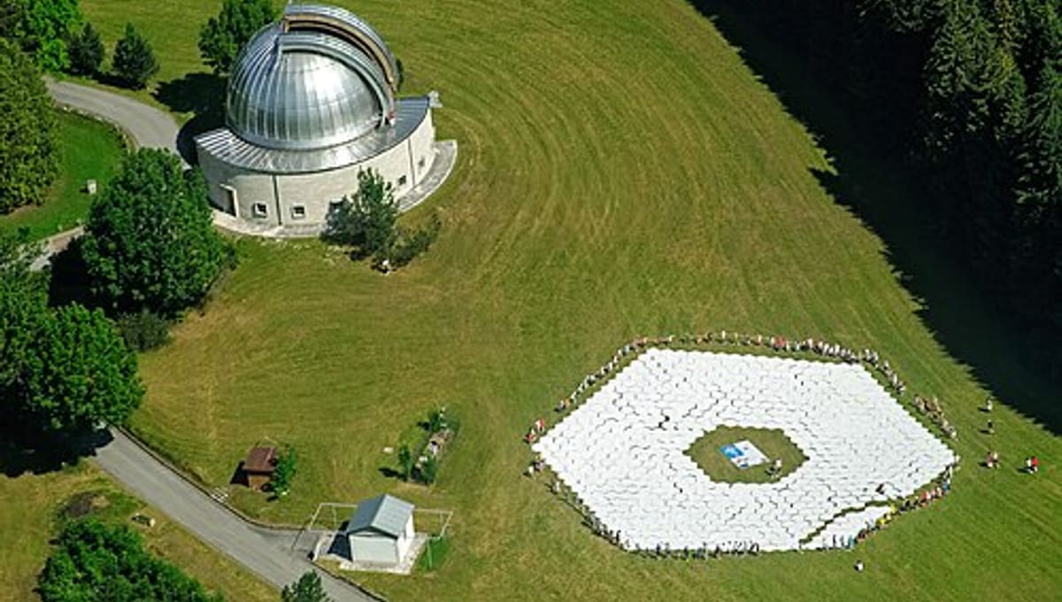
Image: Wikimedia Commons
The Asiago Astrophysical Observatory (Osservatorio Astrofisico di Asiago) is an historic Italian research facility owned and operated by the University of Padua. Founded in 1942, it is located on the high Asiago Plateau at an elevation of 1,045 meters, 90 kilometers northwest of Padua in the region of Veneto.
About Asiago Astrophysical Observatory
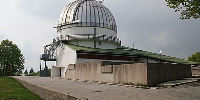
For decades, Asiago was home to the largest telescope in Europe. Today, its main research instrument is the 1.22-meter Galilei telescope, a refractor built by the Florence-based Officine Galileo between 1940 and 1942. The telescope was formally dedicated to Galileo Galilei in 1942 on the third centenary of his death. Currently, the Galilei operates primarily in Cassegrain configuration with a hyperbolic secondary mirror and is equipped with a Boller & Chivens spectrograph for spectroscopic research.
History
Established in 1942 and operational since then, Asiago has been a cornerstone of European astronomical research for over 80 years. Its high elevation and clear mountain location provided ideal conditions for observational astronomy during the pre-digital era.
Additional facilities
The nearby Cima Ekar Observing Station is located approximately 3.8 kilometers southeast on Mount Ekar and hosts the largest optical telescope on Italian soil, extending Asiago's research capabilities.
Location & getting there
The observatory sits on the Asiago Plateau at 1,045 meters elevation, offering exceptional seeing conditions and dark skies. The region is part of the Dolomites and is accessible from several directions via regional roads.
See your named star from here
While Asiago is primarily a research facility, its powerful instruments can locate any star by celestial coordinates. A named star viewed through the Galilei telescope would provide a direct connection to centuries of Galilean tradition and modern observational astronomy.
Opening hours and public-visit programs vary by season. Check the official website and Google Maps for current times before you travel.
Institutional and reference sources used to verify this guide.
Satellite imagery: Esri, Maxar, Earthstar Geographics

 4 km
4 km
 41 kmMuseum